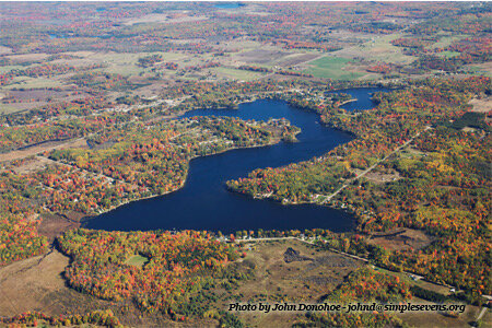
Crooked Lake

Crooked Lake is located in southwestern Clare County within the east central Lower Peninsula of Michigan. More specifically, it is in the village of Lake Station, just south of US 10 and approximately seven miles west of Clare (Fig.1). The lake is 264 acres in size with a maximum depth of 73 feet. There is a public access site operated by the Michigan Department of Natural Resources (MDNR) on the northeast shore. Parking is limited to about 15 vehicles and trailers. The boat ramp is concrete and the access site has a vault toilet. The access site is closed from 11:00 pm to 4:00 am, and the site is closed to swimming, wading, and bathing.
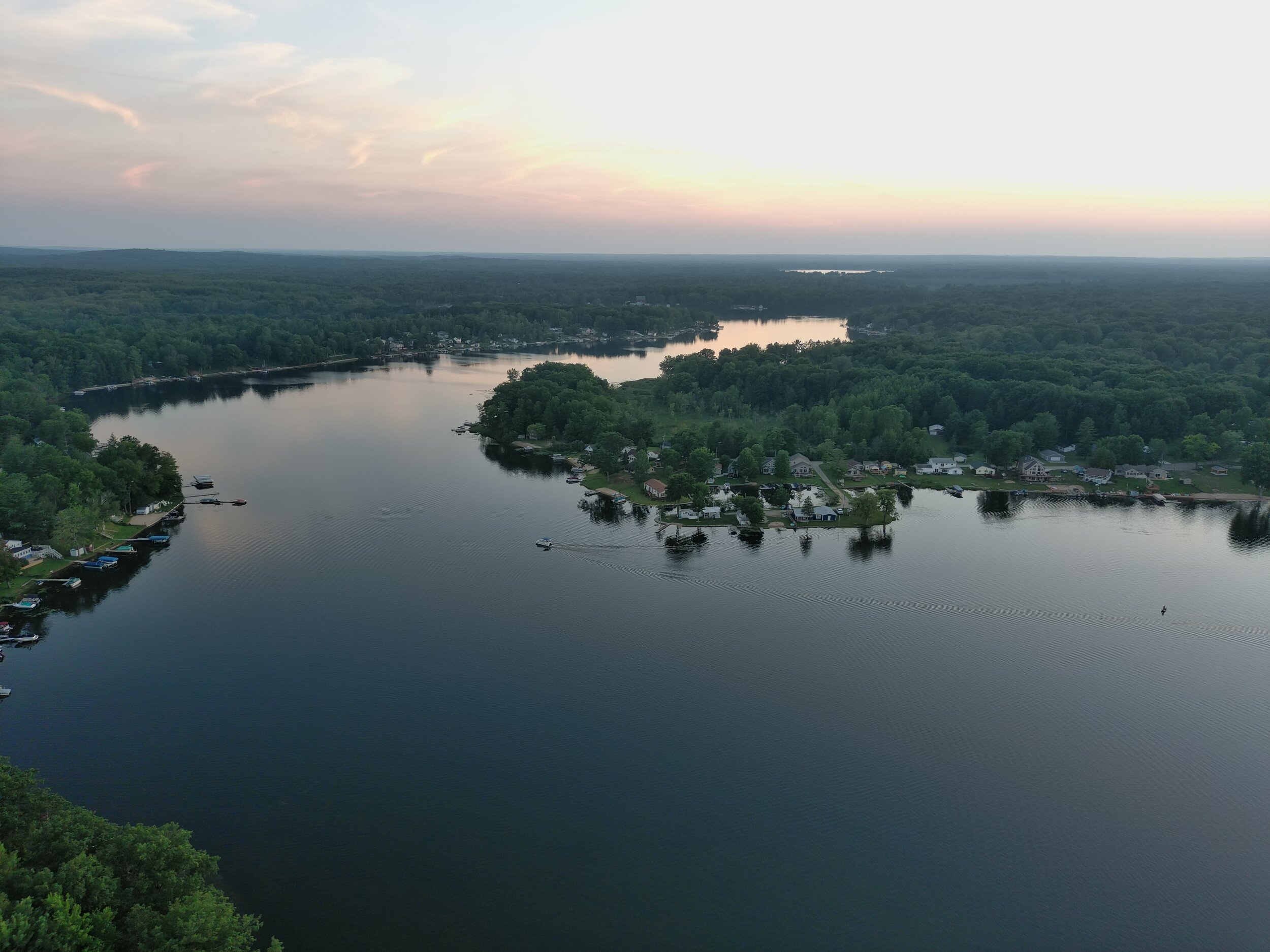
The topography of the watershed is flat-to-gently-rolling hills. Soils are classified as sandy and the predominant land use in the area is mixed farm and woodland. The immediate shoreline of the lake is characterized as high-banked with sandy soils. The littoral zone of Crooked Lake drops off steeply and the lake basin is angular like the name suggests.
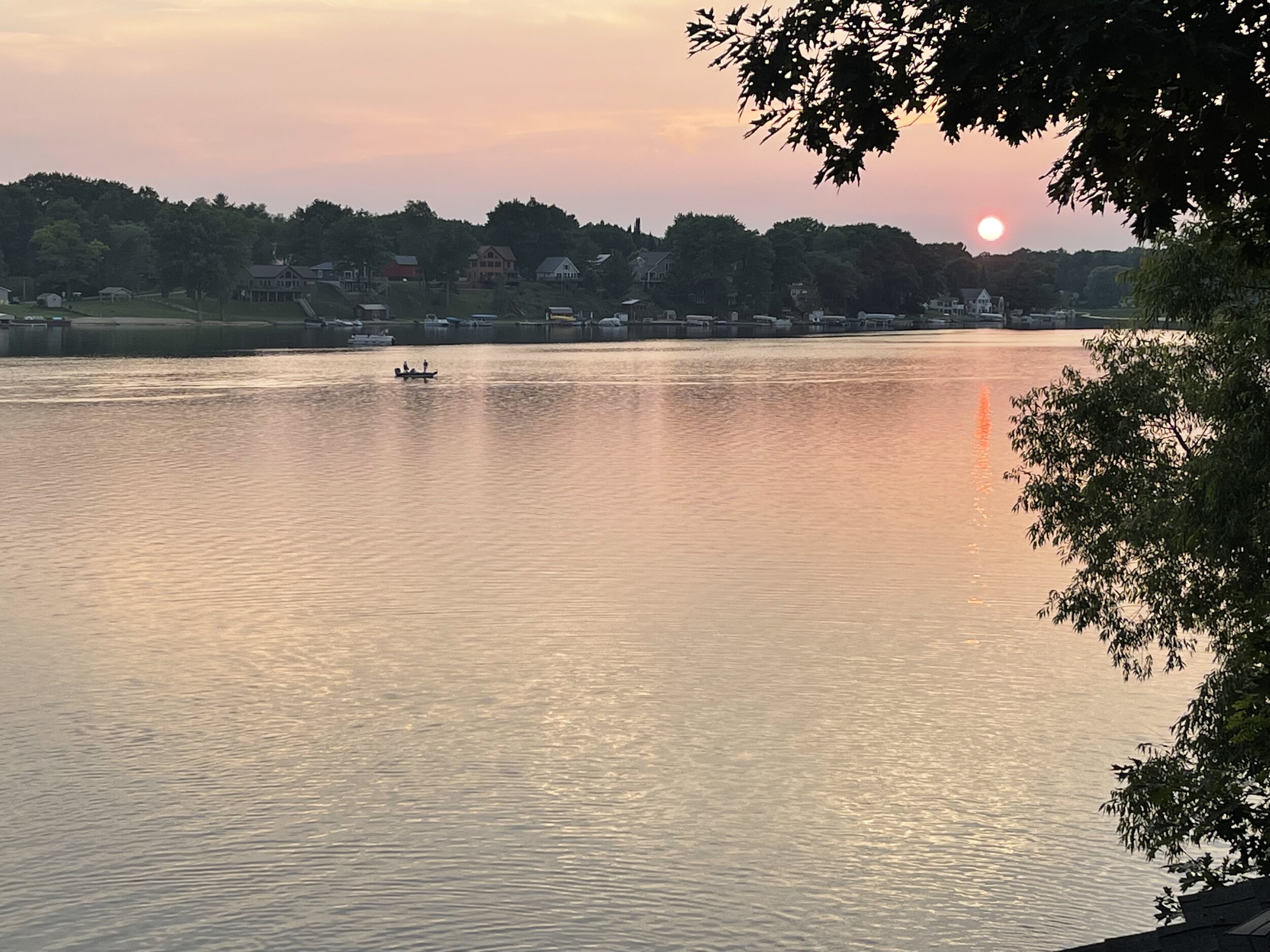
Crooked Lake outlet controls lake level via a control structure (built in 1976) to stream that flows to Cranberry Lake at the headwaters of the North Branch of the Chippewa River. There is one small inlet stream at the southwest end of the lake. Crooked Lake is considered an all-sports lake with good fishing and adequate water depth for all types of boating and watercraft. Boating safety requirements can be found on the Crooked lake Association Home Page by scrolling down to Lake Safety Reminder . A link to the State of Michigan boating safety guidelines is provide there as well.
The lake supports large numbers of Bluegill, Black Crappie and Perch. The lake supports good Largemouth Bass and Rock bass fishing population and medium to low Pike fishing populations